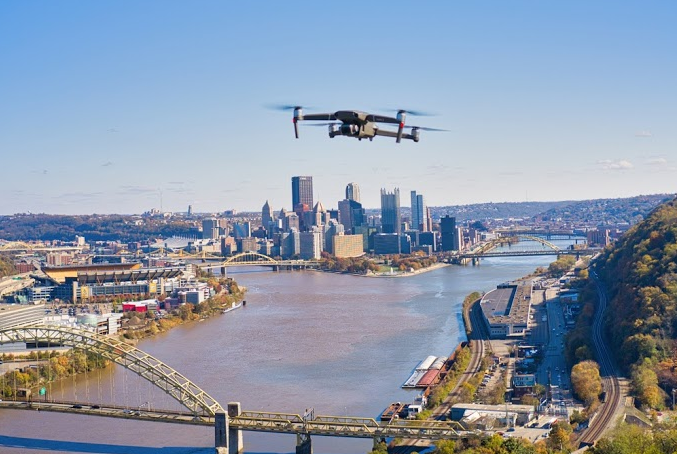
Custom Aerial Photography
- Certified Remote Pilot
- Several years in professional flight services for drone/uas/suas/remote aircraft.
- Some of the projects I work on regularly
- Mapping road construction, overlaying spatial data
- Estimating surface area, distances, volume from aerial imagery
- Maps of large areas (20 Acres or more) at super high resolution
- Professional grade aerial photography
- Aerial videography
- Large panoramic images (extremely high resolution)
- Much more!
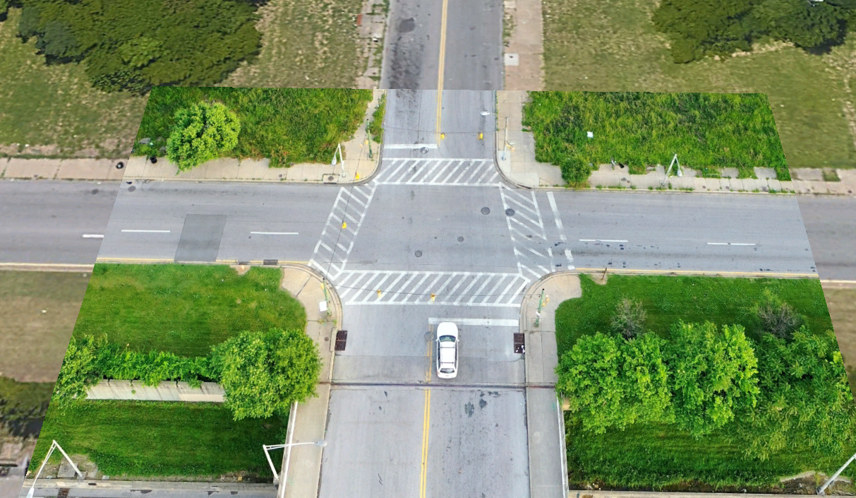
- Drone imagery compared to Google Earth imagery
- Please contact me and let me know what you would like to use a high quality drone camera for.
- Maybe you’re not sure but you would like to see if a drone would be the solution you need? Contact me!
- Limited free services to Transportation 101 Alumni
- Paid services always available
contact

